Painters Crossing
Interactive Reality Modeling provides 3D Utility and Infrastructure Locations for Presentation
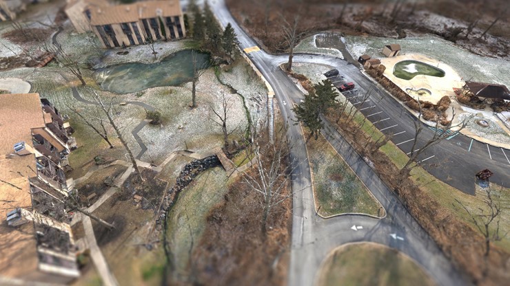
Painters Crossing, Ford Township, PA
A Photogrammetric Survey was taken by an Unmanned Aerial System (UAS) to capture photographs to provide an existing conditions model for our client. The model illustrated manholes, building outlines, curbs, and roadways that helped identify current infrastructure conditions. Contours were also shown on the model for a better understanding of the terrain.
EQUIPMENT LIST
- Sony AR7
- 35mm Lens
- RTK Network GPS
- UAV Phoenix 60
- ContextCapture Software
- MicroStation
- Descrates
CEDARVILLE Engineering Group, LLC (CEG) uses the latest technology to survey your project. Call us today at 610-705-4500 or email info@cedarvilleeng.com.
What can we do for you?
Address: CEDARVILLE Engineering Group, LLC 159 E. High Street, Suite 500 Pottstown, PA 19464 Phone: 610-705-4500 Fax: 610-705-4900 info@cedarvilleeng.com