GIS Story Map
Technology Supports Compliance and Provides Easy Access
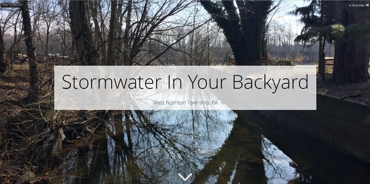
GIS Story Map, West Norriton Township, PA
CEDARVILLE Engineering Group, LLC (CEG) developed a GIS web application called a Story Map for the purposes of educating the public about stormwater management in West Norriton Township. The Story Map incorporates highly customized content to the Township including photographs, narrative, and interactive maps. Video clips were also incorporated. The goal was to provide a simple, creative, and effective tool showcasing technology to communicate what stormwater is and how West Norriton manages it, while meeting National Pollutant Discharge Elimination System (NPDES) Municipal Separate Storm Sewer System (MS4) permit requirements.
The Story Map has been distributed through multiple outlets, including the Township Facebook page, CEG’s social media outlets, and was accepted into the ESRI Story Maps Gallery. The Story Map has been viewed over 1,500 times and can continue to be distributed by the Township through different outlets to target their residents.
SERVICES
- GIS
- Web Application
Visit the completed Story Map here: https://cedarvilleeng.maps.arcgis.com/apps/Cascade/index.html?appid=a1aa2fad09b74237b0004713d875689f
Call us to get your own GIS Story Map done at 610-705-4500!
What can we do for you?
Address: CEDARVILLE Engineering Group, LLC 159 E. High Street, Suite 500 Pottstown, PA 19464 Phone: 610-705-4500 Fax: 610-705-4900 info@cedarvilleeng.com